Crete E4: Cha Gorge

On Day 3 of my Crete E4 adventure, I began to realize that trail markings are apparently not a thing standardized across the world’s trails. I’d ended up on the wrong side of the valley from Vori, just below the highway that wound up in the village of Sikia.

What my map didn’t show, it turned out, was detail: a pretty important thing to exclude! I was essentially using a road atlas at a scale of 1:150k, the only cross-Crete map I could find in Athens, but when I found myself off-trail and confronted by a hundred winding paths through olive fields it was never quite enough to be sure where I was. Eventually, several hours after breaking camp that morning, I finally found an E4 sign and knew I was back on track.

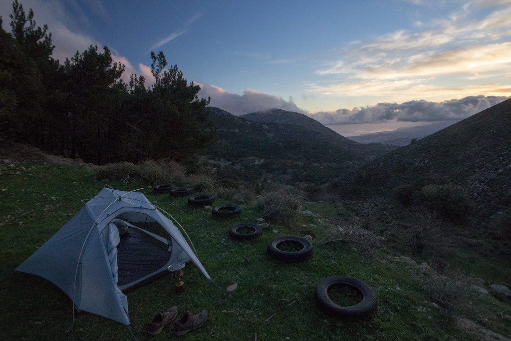
Not even making what I’d expected to be half of the days’ distance, I camped outside the settlement of Dhafni in another abandoned olive grove. Not bad as far as campsites though, but after such a frustrating day I was quite glad to have a warm meal and a nice view to lull me into a more pleasant state of mind.


The next day, number 4, was fortunately a lot more positive and considerably smoother. Despite intense sun and a lot of time on roads, I managed to stay on-trail and even have a couple of friendly interactions with some of the folks who lived in the village of Orino.


From here the path, another rough road into the shepherds’ valleys in the mountains above, wound up and up and up and up for over half a kilometer on dusty gravel into the Thriptis mountains.

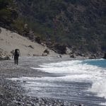
Finally arriving near the village of Thriptis, looking towards the Med in the North and Libyan Sea to the South, made the whole experience a little more palatable.

Stopping in town to ask a family for water, I was treated to a big shot of the local raki in addition to the more nourishing beverage I’d requested. With a belly full of fire, the last 30 minutes to where I camped for the evening (overlooking the Cha Gorge and sunset beyond) were some of the quickest miles of the whole hike.